El Segundo
A compact South Bay city where a walkable residential core, Pacific beach, community parks, and a global aerospace economy meet
Contact Us“El Segundo has the scale of a beach town and the reach of a major business center.”
— Stewart & Randi
El Segundo sits between Los Angeles International Airport, the Pacific Ocean, Manhattan Beach, and the I-405 corridor. Those clear edges help its residential neighborhoods and downtown retain a distinct identity within greater Los Angeles.
Small enough to feel local, connected enough to think big.
Main Street, neighborhood parks, schools, local businesses, and a broad beach shape daily life west of Pacific Coast Highway. To the east, major employers extend the city's influence across aerospace, technology, media, and industry.
A Small-Town Core
Main Street & Downtown
Downtown is a compact collection of one- to three-story buildings, neighborhood businesses, restaurants, civic uses, and gathering places. Main Street and Grand Avenue make the district easy to understand on foot.
Library Park
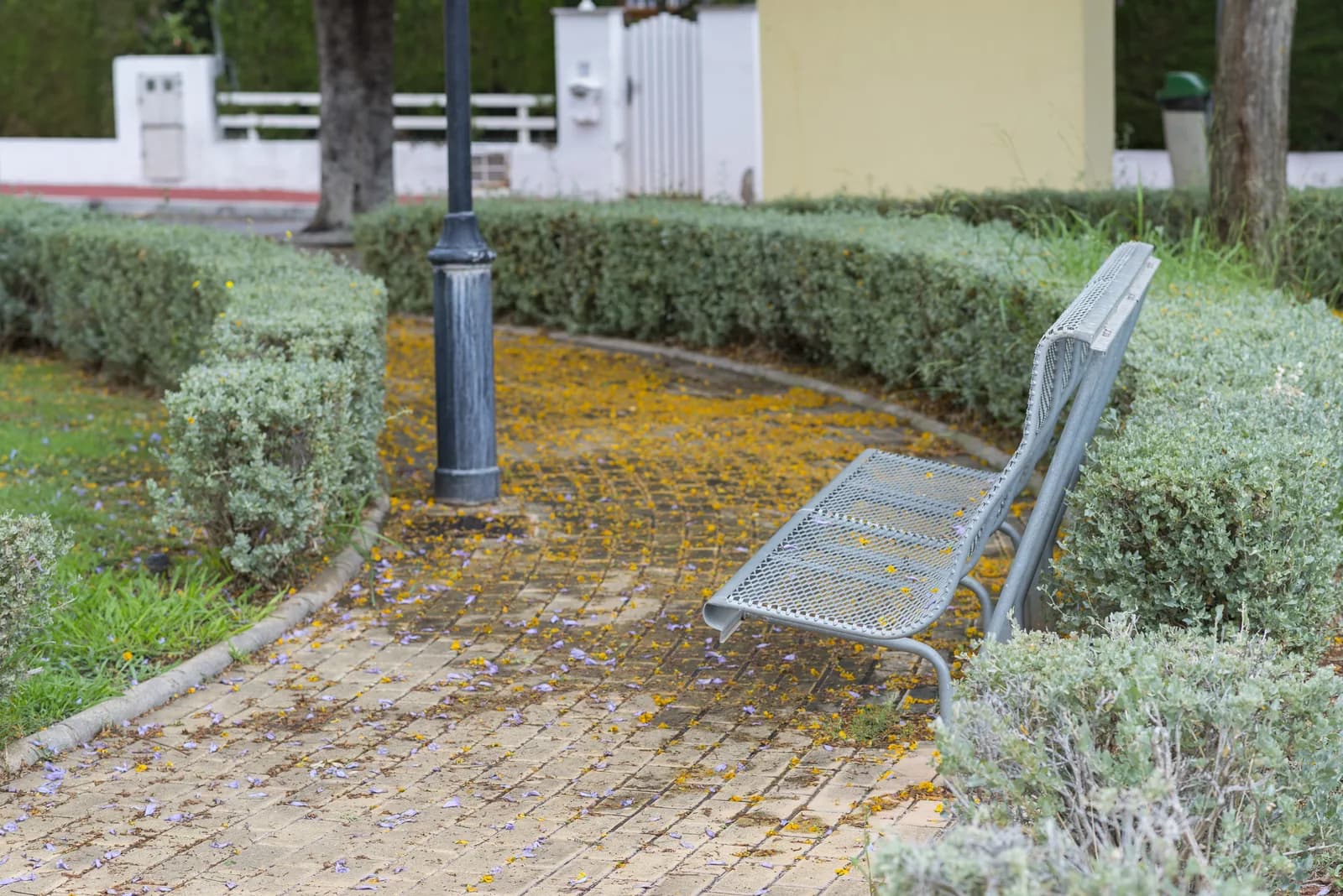
Beside the public library, Library Park provides lawn, shade, seating, and a bandstand close to downtown. Concerts and community programs regularly turn it into a shared outdoor room.
Recreation Park
Recreation Park is the active counterpart, bringing together fields, courts, playgrounds, a pool, community facilities, and year-round programs just east of downtown.
Familiar Places, Close Together
The library, parks, civic center, shops, restaurants, and many residential blocks sit within a relatively small area. That compactness gives routine errands and neighborhood events a personal, recognizable rhythm.
Pacific at the End of the Street
El Segundo Beach
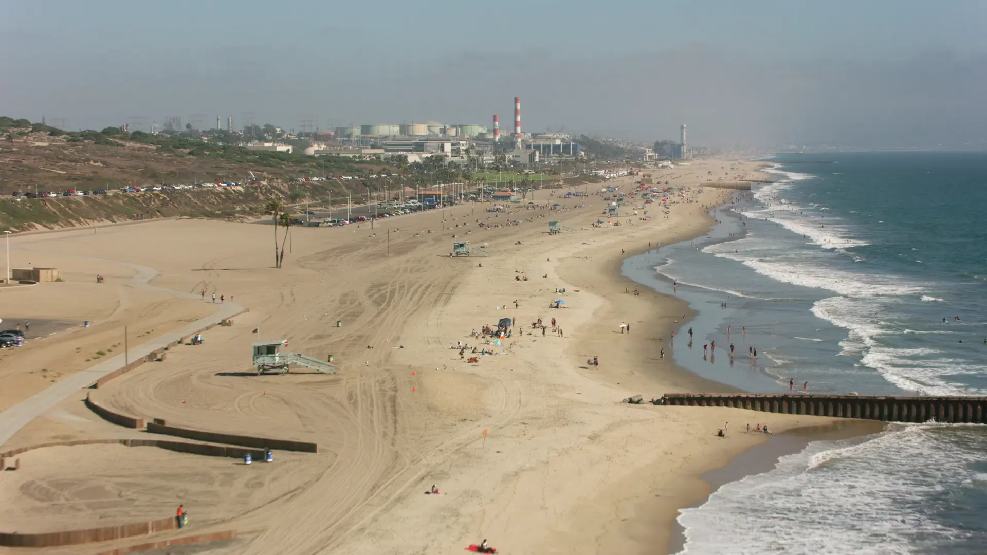
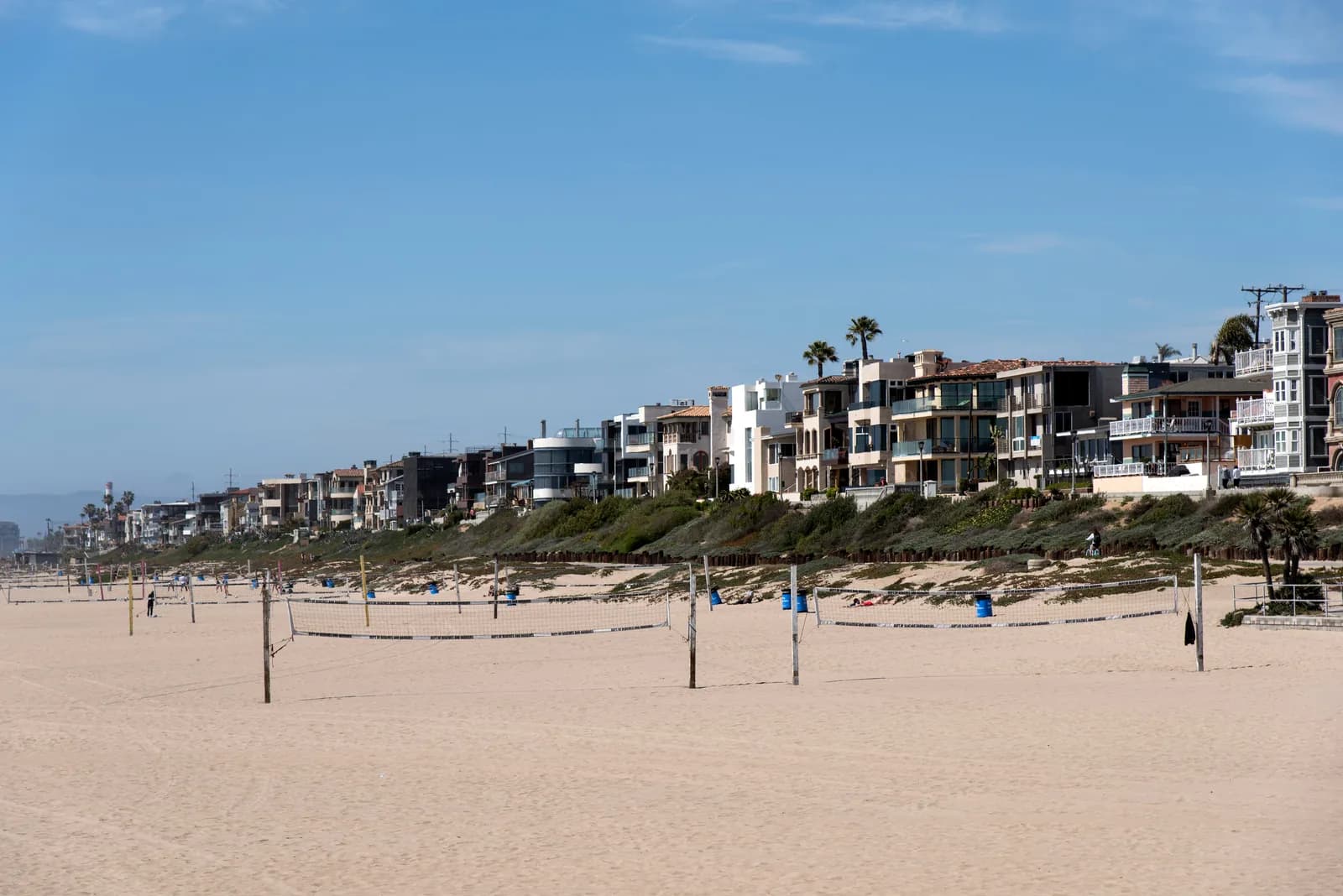
Grand Avenue runs west to the city's broad strip of sand. The shoreline is less commercial than the pier districts to the south, making it a straightforward place for an ocean walk, a quiet sunset, or time beside the water.
The Beach Bike Path
The paved coastal route links El Segundo with the wider South Bay shoreline. Cycling, walking, and running can continue north toward Dockweiler or south toward Manhattan Beach.
Parks Between Home and the Coast
A network of neighborhood parks supplements the two downtown anchors. Lawns, playgrounds, fields, courts, swimming, and community programs make outdoor time part of the weekly routine beyond the beach.
A Distinct South Bay Coast
El Segundo's shoreline is framed by working infrastructure as well as open ocean. It feels different from the resort-like beach cities nearby—and that honest mix is part of the city's identity.
Aerospace Capital
A Long Engineering Legacy
El Segundo is widely recognized as the Aerospace Capital of the World. Space, defense, aviation, and advanced-technology organizations continue a business history that has shaped the city for generations.
Two Sides of Pacific Coast Highway
Most residential neighborhoods and downtown sit west of PCH. Large office, industrial, research, and commercial districts extend east toward the freeway, creating a clear separation between home life and major employment centers.
Beyond Aerospace
Technology, media, consumer products, bioscience, energy, and professional services broaden the local economy. Nearby LAX and regional freeways support connections well beyond the South Bay.

For many residents, a short local commute is possible; for others, the airport and 405 corridor are the bigger draw. The best address depends on how often work, school, coast, and regional travel enter the week.
Connected Across Los Angeles
Close to LAX, Distinct From It
The airport defines the city's northern edge and makes frequent travel unusually convenient. Aircraft noise varies by location, however, so buyers should spend time at a prospective home during different parts of the day.
Regional Reach
The 105 and 405 freeways, Pacific Coast Highway, and nearby South Bay streets create several ways to move through the region. As anywhere in Los Angeles, travel time depends on the hour and destination.
An Established Residential Core
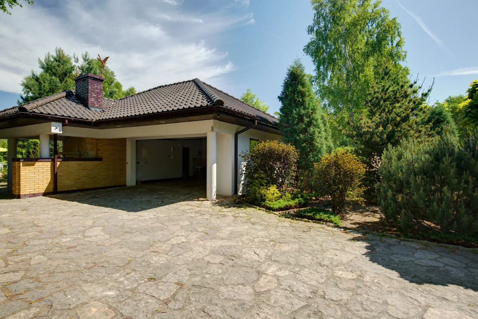
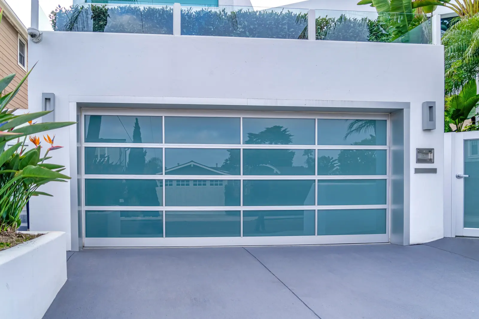
West of PCH, the housing mix includes early cottages, bungalows, mid-century homes, renovated residences, townhomes, apartments, and newer infill. Blocks differ in lot size, elevation, and proximity to downtown or the beach.
Parks, schools, the library, downtown, and the coast give the residential side of El Segundo a compact set of daily reference points despite the city's larger economic reach.
Homes in El Segundo
Compare the Block, Not Just the House
Proximity to Main Street, parks, schools, PCH, the coast, and airport flight paths can all affect how a home feels. Lot orientation, parking, renovation history, and future plans deserve the same attention as finishes and square footage.
Find the Right Fit
Randi and Stewart can help you compare El Segundo's housing options, understand recent sales, and weigh daily convenience against the features that matter most to your move.
Explore El Segundo
The map shows the city's compact residential core between LAX and Manhattan Beach, its Pacific shoreline, and the larger employment districts extending east of PCH.